|
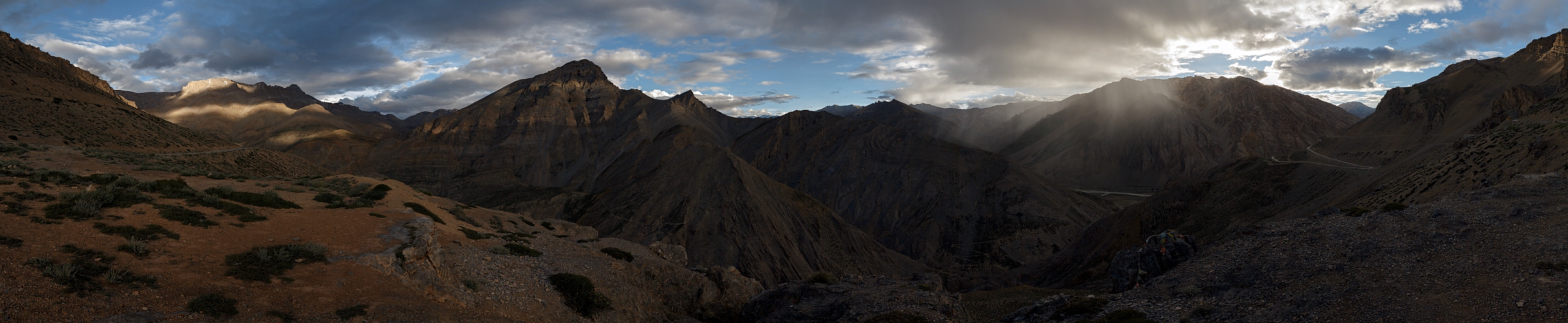
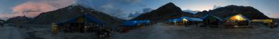
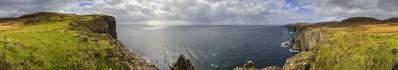
After crossing the Himalayan watershed at the Baralacha La, the Manali-Leh highway descends down to the tiny village of Sarchu. Consider that "down to" amounts to quite a relative concept, since the lowest height attained in this phase is 4300 metres. After Sarchu, and after crossing the scenic canyon of a side river, the road follows for a while the Tsarap valley, which is then suddenly abandoned via the famous Gata loops, a long series of clambering switchbacks clamped to the mountainside. With a further winding upward traverse it reaches the 4932 metres of Nakeela La, which is only an anticipation of the first five-thousander of the route, namely, Lachlung La, 5082, which comes after the depression of Whisky Nalah, hosting in summer a tiny tent settlement.
The present panorama is taken right after the top of the Gata Loops, few dozens of metres after a little gazebo which has been built as a shlter for panorama friends. As you may infer, we were late that evening, and we reached Nakeela already in the darkness.
Documenting all this by means of panoramas will take a certain time, but interested researchers, if any, can already help themselves with the GPS track, already endowed with a basic photographic apparatus: www.wikiloc.com/wikiloc/view.do?id=10857734
Hans-Jürgen Bayer, Sebastian Becher, Müller Björn, Winfried Borlinghaus, Jörg Braukmann, Hans-Jörg Bäuerle, Friedemann Dittrich, Heinz Höra, Martin Kraus, Wilfried Malz, Steffen Minack, Jan Lindgaard Rasmussen, Danko Rihter, Werner Schelberger, Wolfgang Schmähling, Markus Ulmer, Jens Vischer, Alexander Von Mackensen
|
 |


Comments
Cheers, Alberto.
Leave a comment