|
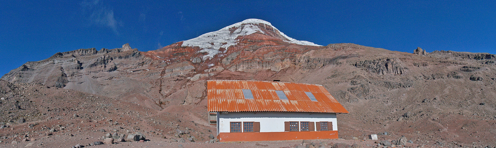
Whymper hut is the highest and the most common place for the climb to Chimborazo. There is a kitchen and rooms, but you have to bring your food and mats. As you can see the weather was unusually good, which gives the climbers a very good view, but also makes the surface of the glacier very hard and increases the rockfall. The night before all three teams had to return without reaching the summit and later in this night the two teams had to turn around because of strong rockfall. As I said before I had stay in the hut because of stomach problems.
The normal route from the hut leads through the red rocks towards the big rectangular shaped whitish rock on the left. My guide, who did the Chimborazo about 150 times in twenty years, says, it needs to snow a bit, so the rocks are sticking together with snow and ice.
Because of the fast rededing glacier, the guides are expecting that this route will soon not be accessible any more safely and some agencies already stopped offering Chimborazo climbs. There is also a huge monument below Whymper hut in memory of the people who left their lives on the way up or down with quite a few names, but the guides claim that they didn't have any casualties in recent years.
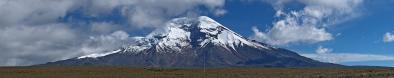
So if you want to try to get on the planet's highest point (see Wikipedia) try soon and take a guide! But even from the refugio it's a fascinating view and definitely worth visiting with lots of wild Acunas strolling around...
|
 |


Comments
5000m - gehört wohl mit zu den höchsten Locations auf p-p
http://www.panoramio.com/photo/77577272
A (suffering) ice-cap and a dry, jagged rocky ridge converging to it. Incidentally, on the Sajama one of the curious rocks on the ridge host the high camp. I have read that also the normal route to Chimborazo joins the ridge close to the rightmost rock tower.
According to my information the route to the rocks on the right is the Whymper route, easy in the beginning, but below the summit you have to traverse through very steep rocks and glaciers. Therefor the local guides don't use it often nowadays...
Leave a comment